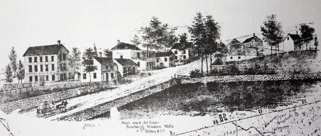
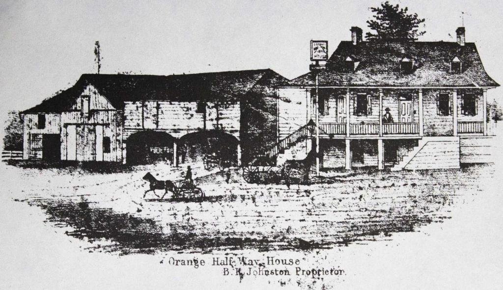
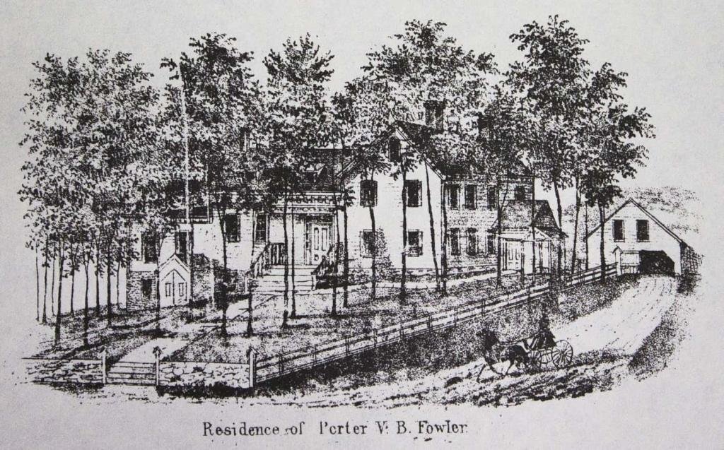
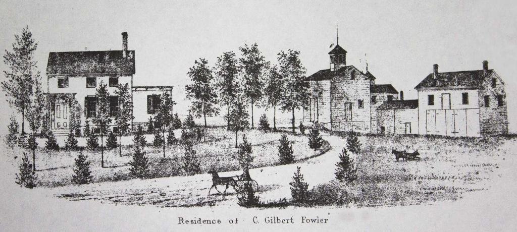
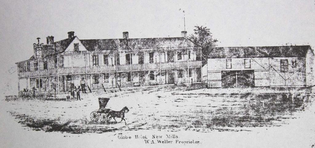
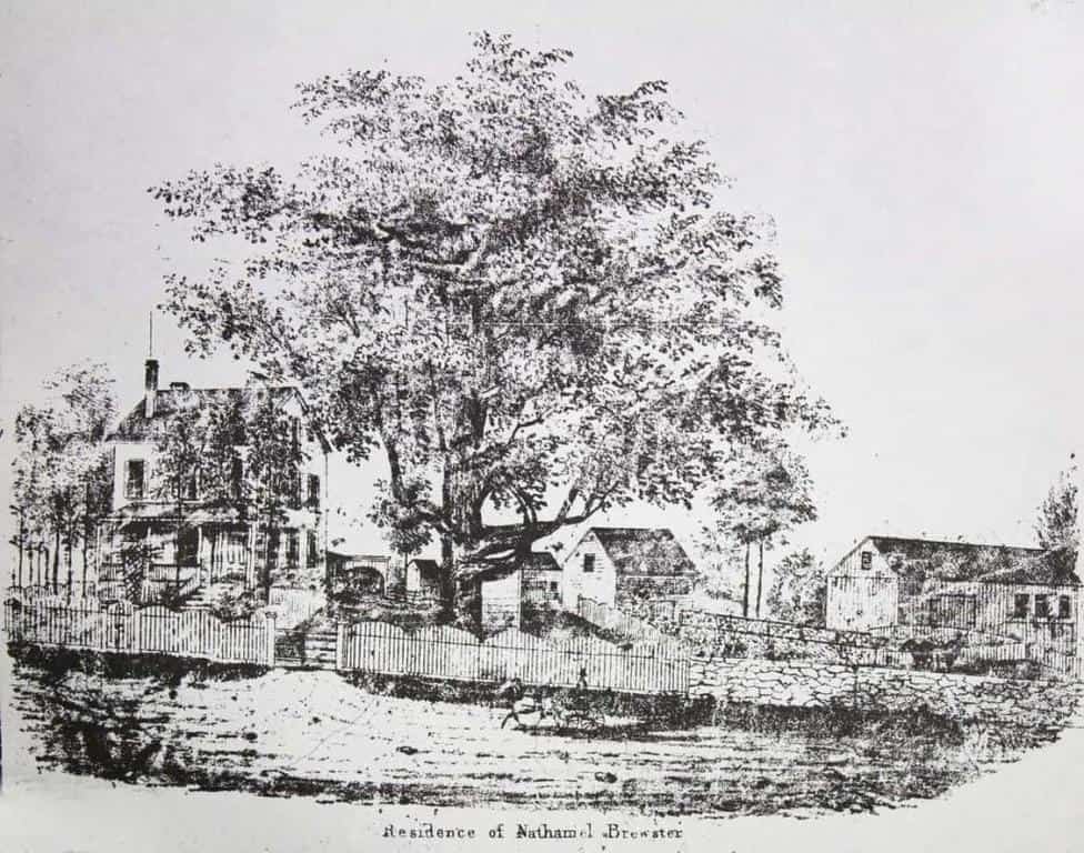
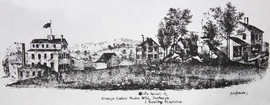
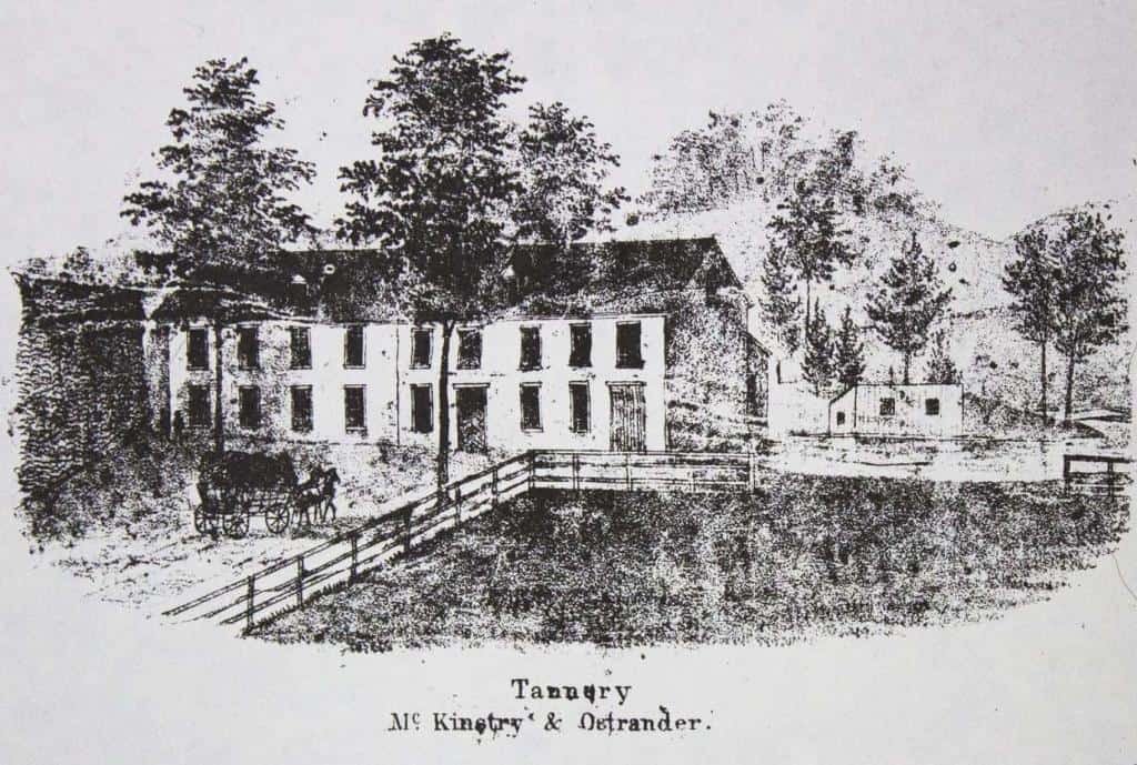
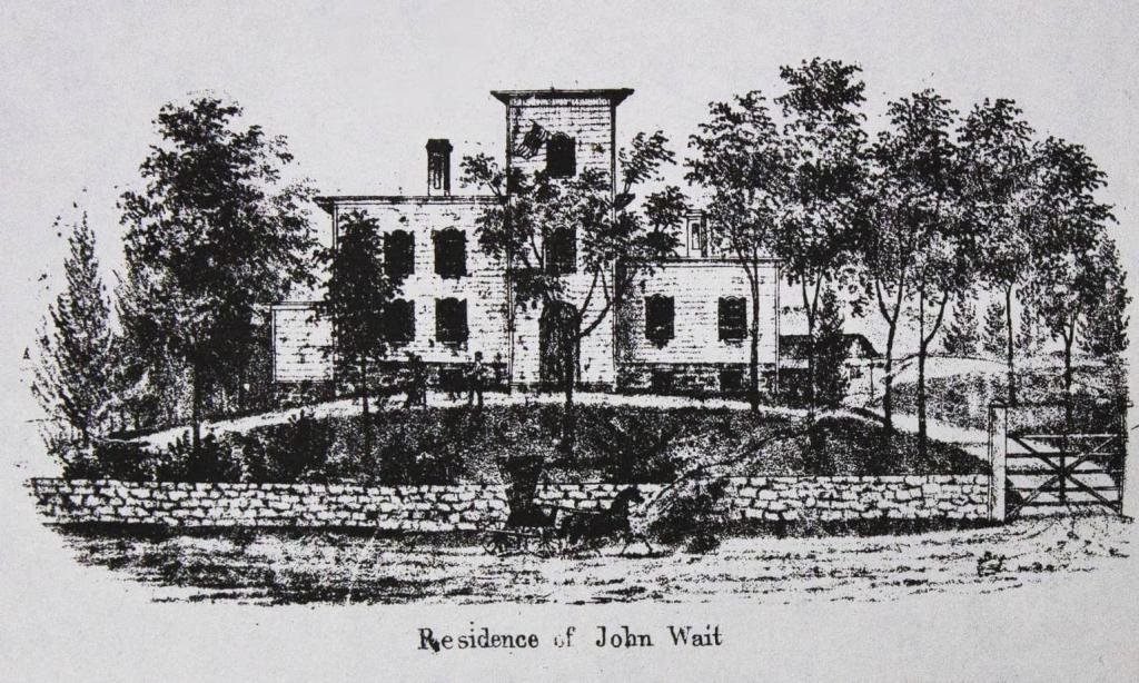
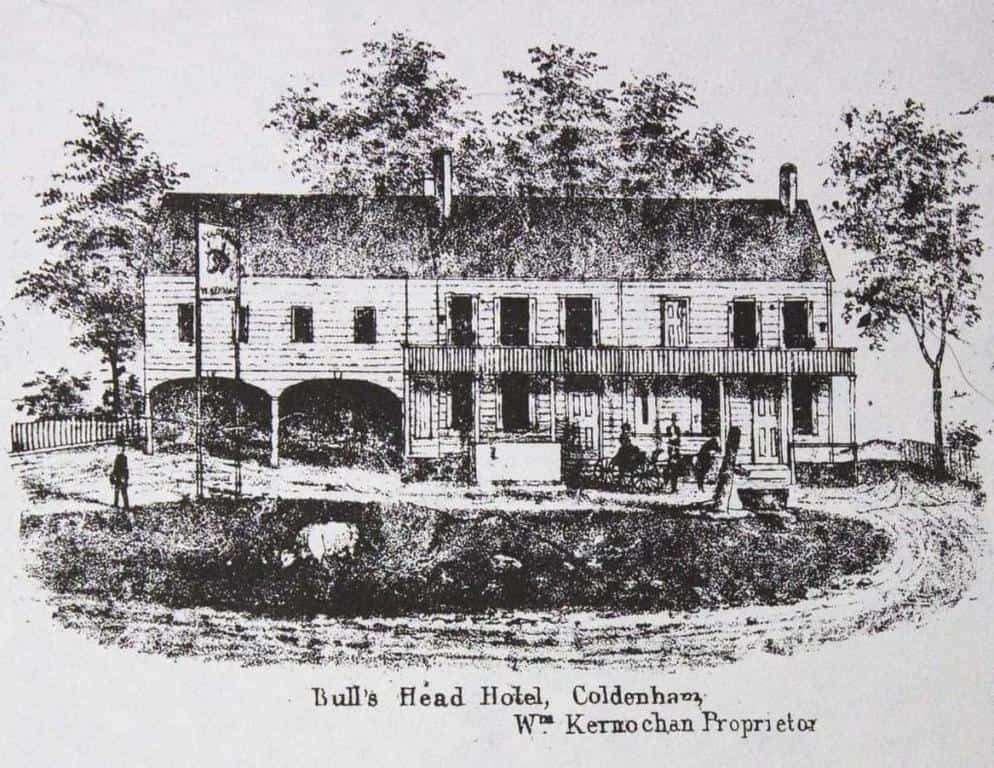
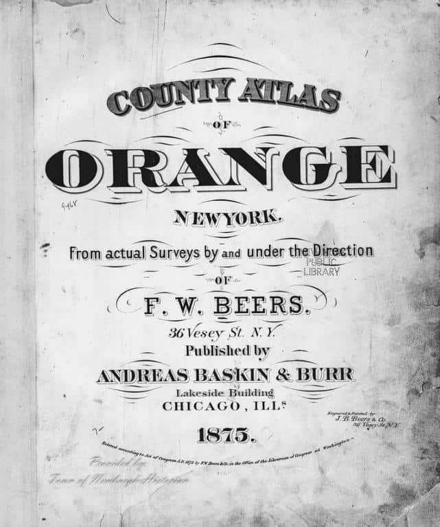
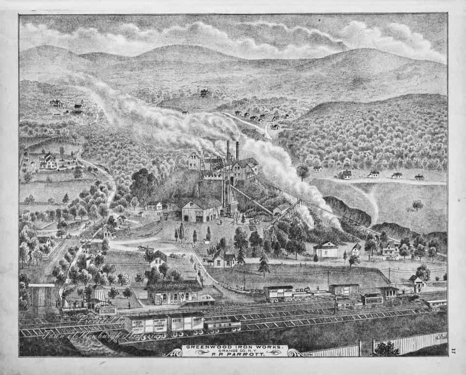
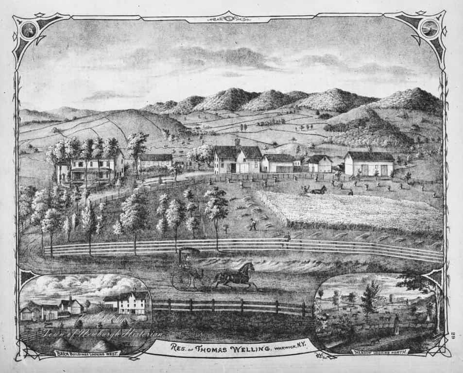
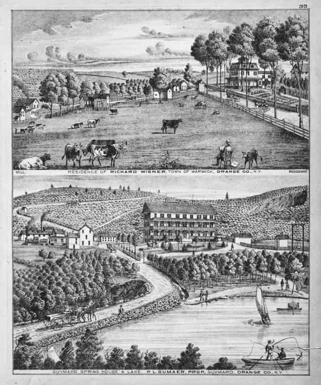
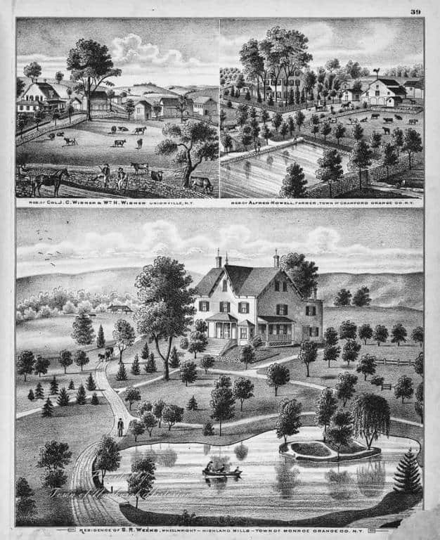
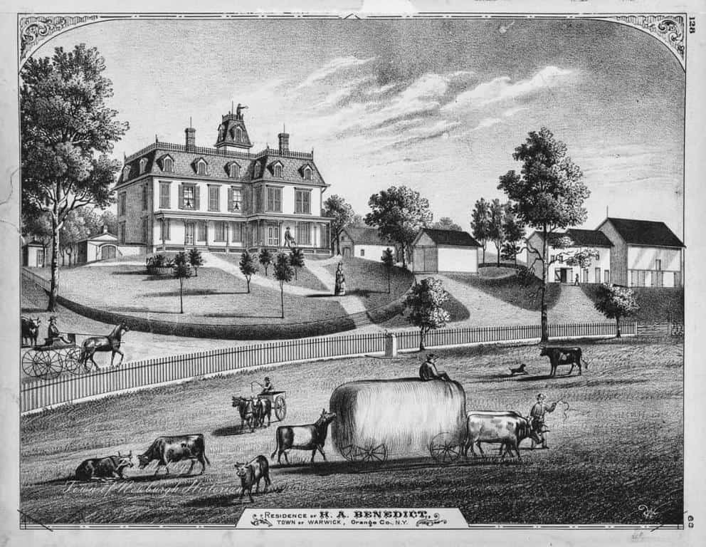
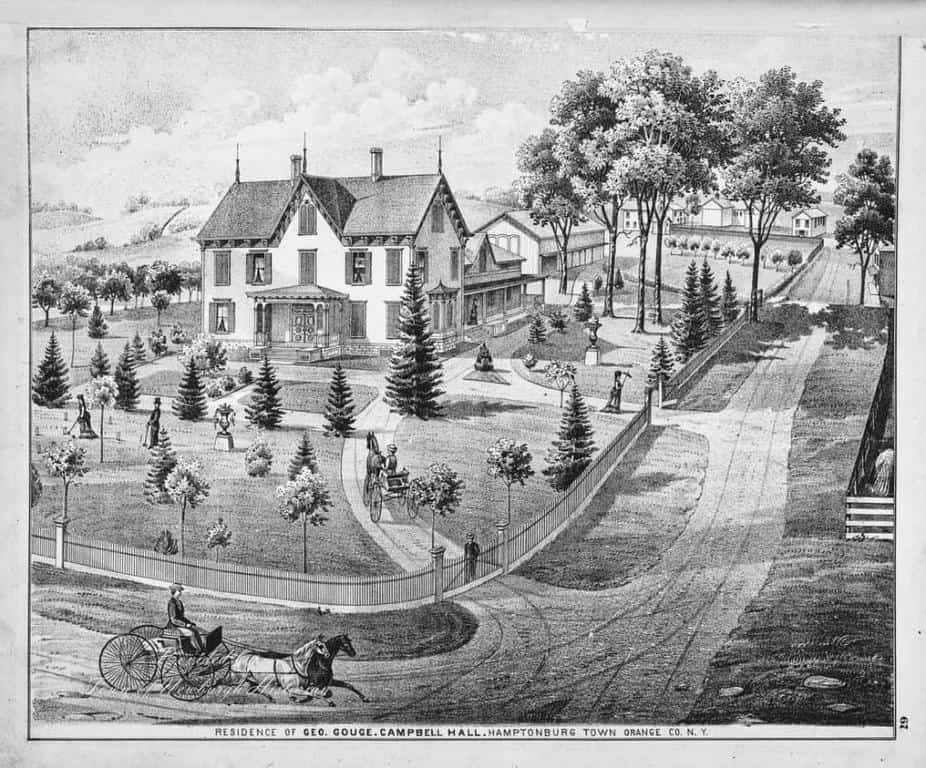
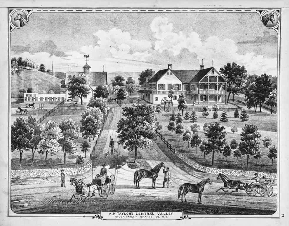
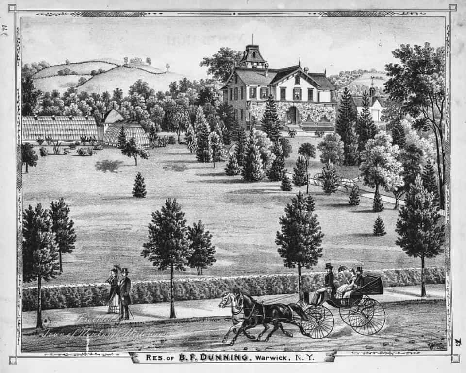
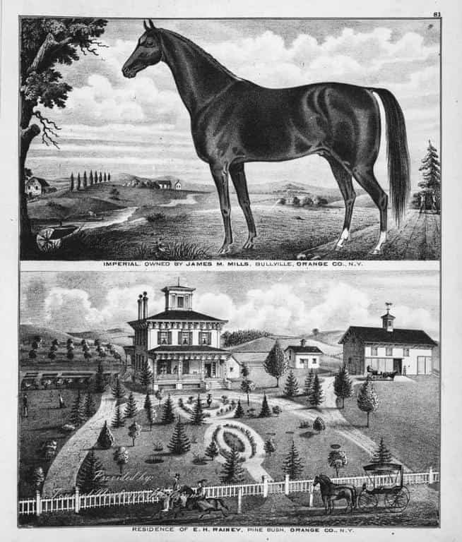
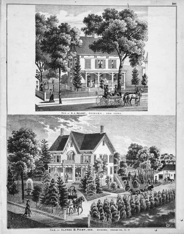
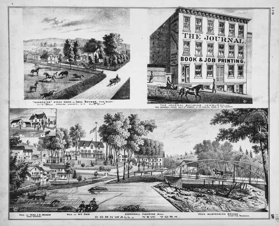
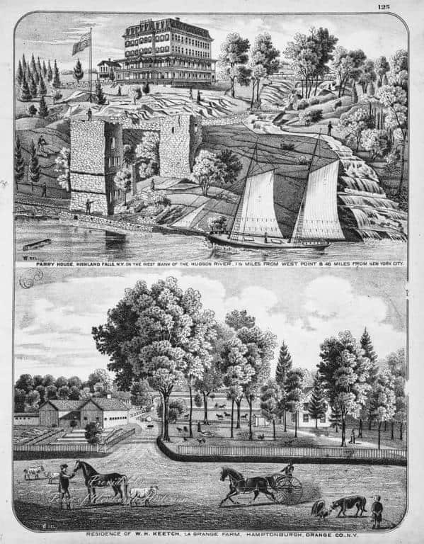
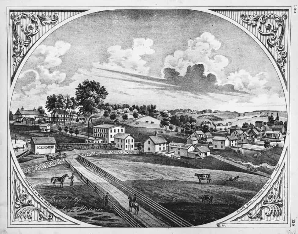
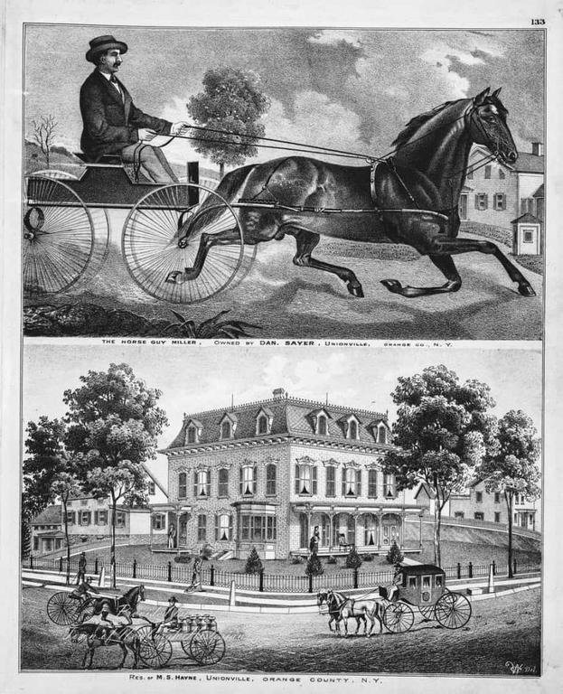
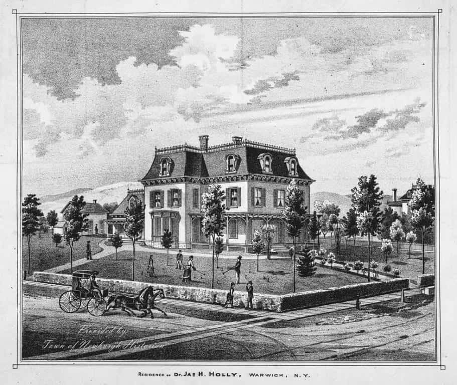
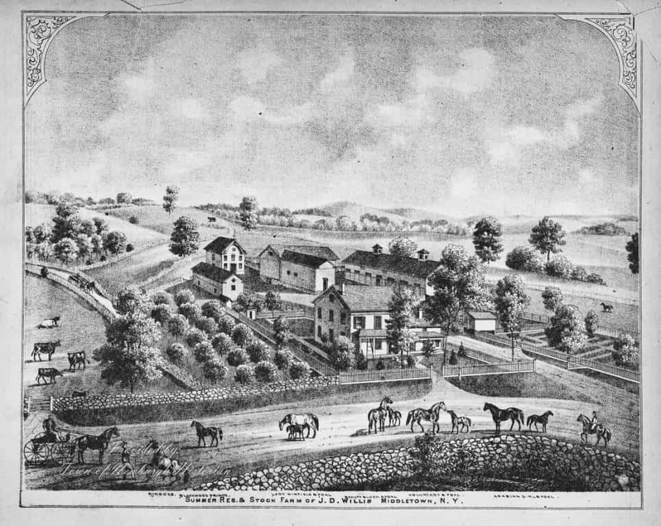
The 1875 Beers Map of Orange County and the 1864 Farm Map of Newburgh by Michael Hughes both were works of art by themselves. The earlier Atlas’ of Newburgh and the surrounding areas were either filled with or printed with Illustrations of various Farms, Stores, and even famous horses or the day. Although photography was becoming more and more popular illustrations were still in use on Maps and Atlas’ throughout the 19th Century. In looking back at maps from centuries prior, illustrations have been included for some time.
Although some of the illustrations are not all from the Newburgh area, they are from Orange County. They give a glimpse back in time to what some of the more well-to-do homes and businesses looked like and how people lived during the 19th century.
On the Research Page located here on “The Newburgh History Blog” there is a link to many wonderful maps of the area. They can be viewed, zoomed, and downloaded and are a valuable tool for many different types of research.


